

In the context of the importance of international publishing in raising the level of universities scientifically and globally, universities are ranked globally according to several criteria, including the extent of the university’s spread and influence, and this is measured in particular by the quality and quantity of the university’s scientific production represented by scientific research published in international journals; A research paper entitled: Mapping flood risks and managing them in urban areas: using geomatics and hydrodynamic modeling: a case study of the city of Budaiya in the Aflaj Governorate in the Kingdom of Saudi Arabia, by Dr. Ahmed Fawzi Dahi Jaber, Head of the Department of Geography and Geographic Information Systems at the Faculty of Arts, Sohag University, was published in the international journal Information Sciences Letters. , in its volume No. 12, and its tenth issue issued in October 2023, which is considered a “Scopus” magazine and holds an international classification of Q2 .
The research focused on developing a comprehensive approach to mapping and managing flood risks in the Budaiya region by integrating geomatics (remote sensing and geographic information systems) and hydrodynamic modeling (PCSWMM and HEC-RAS), as the study aimed to simulate and model flood risks in populated areas. Under different scenarios, taking into account the impact of climate change. The study concluded that three integrated maps were created: (flood severity, environmental sensitivity, and flood risk.)
The study reached several results, the most important of which is: The city of Budaiya is exposed to the dangers of torrents coming from the west and advancing towards the east, mainly due to important valleys, such as: Wadi Haram. Nearly 60% of urban areas in the region are affected by flood waters. To confront these risks, the study proposed building dams, canals, and culverts to redirect floodwaters to the eastern valley of the table, in addition to constructing artificial canals to manage floods in the northern valleys .
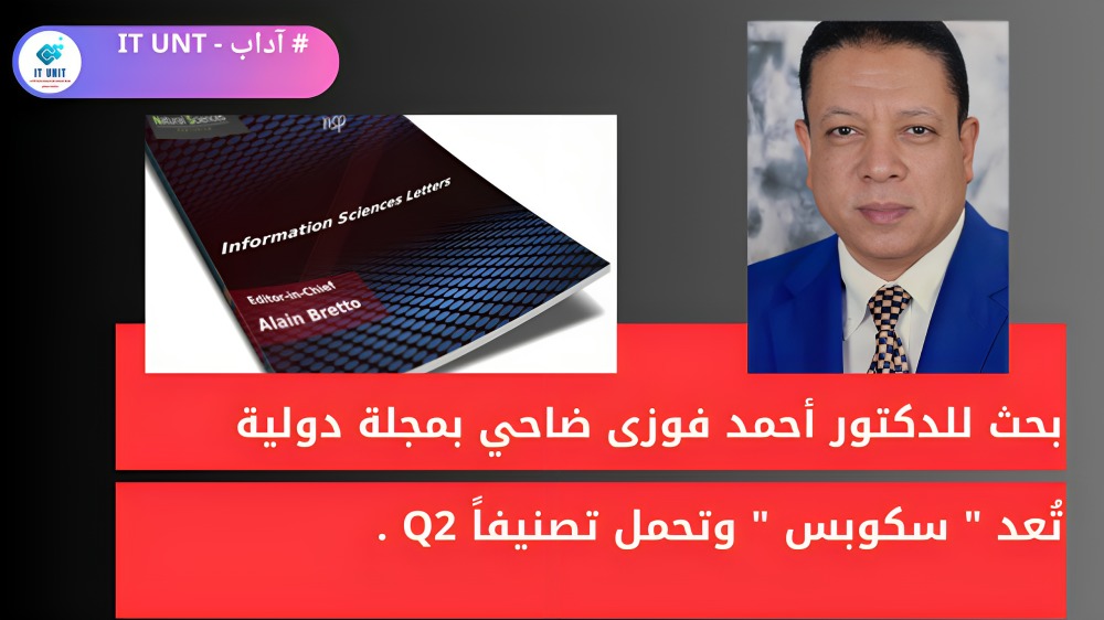
في إطارأهمية النشر الدولي :
بحث للدكتور أحمد فوزى ضاحي بمجلة دولية تُعد “سكوبس ” وتحمل تصنيفاً Q2 .
فى إطارأهمية أهمية النشر الدولي في الارتقاء بمستوى الجامعات علميا وعالميا ، حيثُ يتم ترتيب الجامعات عالميا على حسب عدة معايير من بينها مدى انتشار الجامعة وتأثيرها ، ويتم قياس ذلك بوجه خاص بكيفية وكمية الإنتاج العلمي للجامعة المتمثل في الأبحاث العلمية المنشورة في مجلات دولية ؛ تم شر بحث عنوان : رسم خرائط مخاطر الفيضانات وإدارتها في المناطق الحضرية: باستخدام الجيوماتكس والنمذجة الهيدروديناميكية : دراسة حالة مدينة البديع بمحافظة الأفلاج بالمملكة العربية السعودية ، للدكتورأحمد فوزى ضاحى جابر رئيس قسم الجغرافيا ونظم المعلومات الجغرافية بكلية الآداب جامعة سوهاج ، وذلك بالمجلة الدولية Information Sciences Letters ، فى مجلدها رقم 12 ، وعددها العاشر الصادر فى أكتوبر 2023 ، والتي تُعد مجلة ” سكوبس ” و تحمل تصنيفاً دولياًQ2 .
وقد ركز البحث على على تطوير منهج شامل لرسم خريطة وإدارة مخاطر الفيضانات في منطقة البديع من خلال دمج الجيوماتكس (الاستشعار عن بعد ونظم المعلومات الجغرافية) و النمذجة الهيدروديناميكية (PCSWMM وHEC-RAS)، حيثُ هدفت الدراسة إلى محاكاة ونمذجة مخاطر الفيضانات في المناطق المأهولة بالسكان في ظل سيناريوهات مختلفة، مع الأخذ في الاعتبار تأثير تغير المناخ. وقد توصلت الدراسة الى عمل ثلاث خرائط متكاملة ، هى : ( شدة الفيضانات، والحساسية البيئية ، ومخاطر الفيضانات).
وتوصلت الدراسة إلى عدة نتائج ، من أهمها : تعرض مدينة البديع لمخاطر السيول القادمة من الغرب و التي تتقدم نحو الشرق، ويرجع ذلك أساسًا إلى الوديان المهمة ، مثل : وادي حرم . وأن ما يقرب من 60 ٪ من المناطق الحضرية في المنطقة تتأثر بمياه السيول . واقترحت الدراسة – لمواجهة تلك المخاطر- بناء السدود والقنوات والعبارات لإعادة توجيه مياه السيول إلى وادي الجدول شرقاً ، بالإضافة إلى عمل قنوات صناعية لإدارة فيضانات الأودية الشمالية .
Research by Dr. Ahmed Fawzi Dhahi in an international magazine considered as “Scopus” with a rating of Q2.